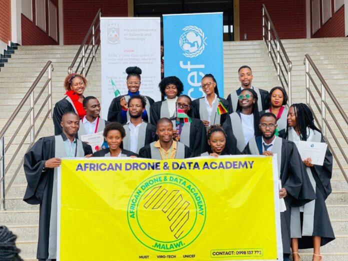
By Joshua Faleti
The African drone and data academy that was held in Malawi has come to a close, and the organisers celebrated this feat with a closing ceremony. The ceremony saw the presentation of projects that various teams developed during the training These included remote sensing technology during the response to natural disasters, precision agriculture and pest control, and road damage detection using Artificial Intelligence. These technologies will consequently be vital to solving the continent’s problems.
At the event, participants committed to using the technologies to solve problems in their communities. They also committed to transferring knowledge so that more young people in Africa can learn about these technologies, thus helping in the digital inclusion and insertion of their countries in a globalized world.

The academy also obtained various results, including the construction of an unmanned fixed-wing aircraft, EcoSoar model, Drones with vertical take-off capability Model S500, creation of analytical models using DeepLearning to control electrical networks, creation of models for identification, quantification and analysis of palm trees in neotropical regions and the use of Google Earth Engine (cloud computing tool created by google) for large-scale analysis. The training also involved certification in Drone operation (TOP – Trusted Operator Certificate) by the International Association of Unmanned Aerial Vehicles (AUVSI).
UNICEF thanked the participation and support of the participating institutions, including the University of Virginia, the University of Furman, the Malawi University of Science and Technology, the host, as well as the various sponsors. Unicef also extended gratitude to individuals and institutions from different countries that participated
**Post first appeared in SPACE IN AFRICA


